
Walk a Dunedin Street Directory
A street-by-street search works best as a chain. The Pinellas County Property Appraiser identifies land and ownership, but its roll is not a household list. VotePinellas records can add registered voters, subject to exemptions, while an old reverse directory can name an occupant for its publication year. Keep the date and role beside each name. An owner, voter, deed grantee, permit applicant, and resident may be five different people.
- Enter the street number and name in the PCPA Quick Search. Record the site address, owner, separate mailing address, parcel number, legal description, and last deed.
- Open the PCPA Parcel Viewer. Click nearby parcels one at a time to follow the same street and confirm lot boundaries.
- For a lawful street study, obtain the public voter extract and filter standardized residential addresses. The individual lookup verifies one known voter and cannot enumerate a block.
- Follow the parcel's book and page into Pinellas Acclaim. Match the legal description before accepting a deed as part of the chain.
- For past occupants, ask the library or State Library about reverse directories, then pair a directory entry with newspapers and public census schedules.
This process makes the Dunedin street directory useful without overstating the evidence. A matching homestead exemption can support owner occupancy, but it does not identify all people at the address. A deed proves a transfer. It does not prove that a buyer moved in on the recording date.
Search Dunedin Parcels by Address
The Pinellas County Property Appraiser Quick Search is the strongest first stop for a modern street directory. Its tabs accept an address, owner, parcel ID, subdivision or condominium, and location. The office advises that less is more: begin with the number and street name, then broaden to the street name if an exact format fails. Suffixes use short forms such as St, Ave, Blvd, Pkwy, and Ln.
| Search choice | Input | Useful result |
|---|---|---|
| Address | Street number and name | Candidate parcels and site addresses |
| Owner | Person or entity name | Owned parcels and mailing clues |
| Parcel ID | Parcel or STRAP | One precise land record |
| Sub/Condo | Development name | Lots or units in one development |
| Official Records | Book/page, such as 02345/0124 | Links toward the Clerk record |
The result can show parcel number, address, tax district, use, short legal description, last deed, sales, values, exemptions, buildings, and a map. PCPA's address-search guidance explains the search form and deed links.
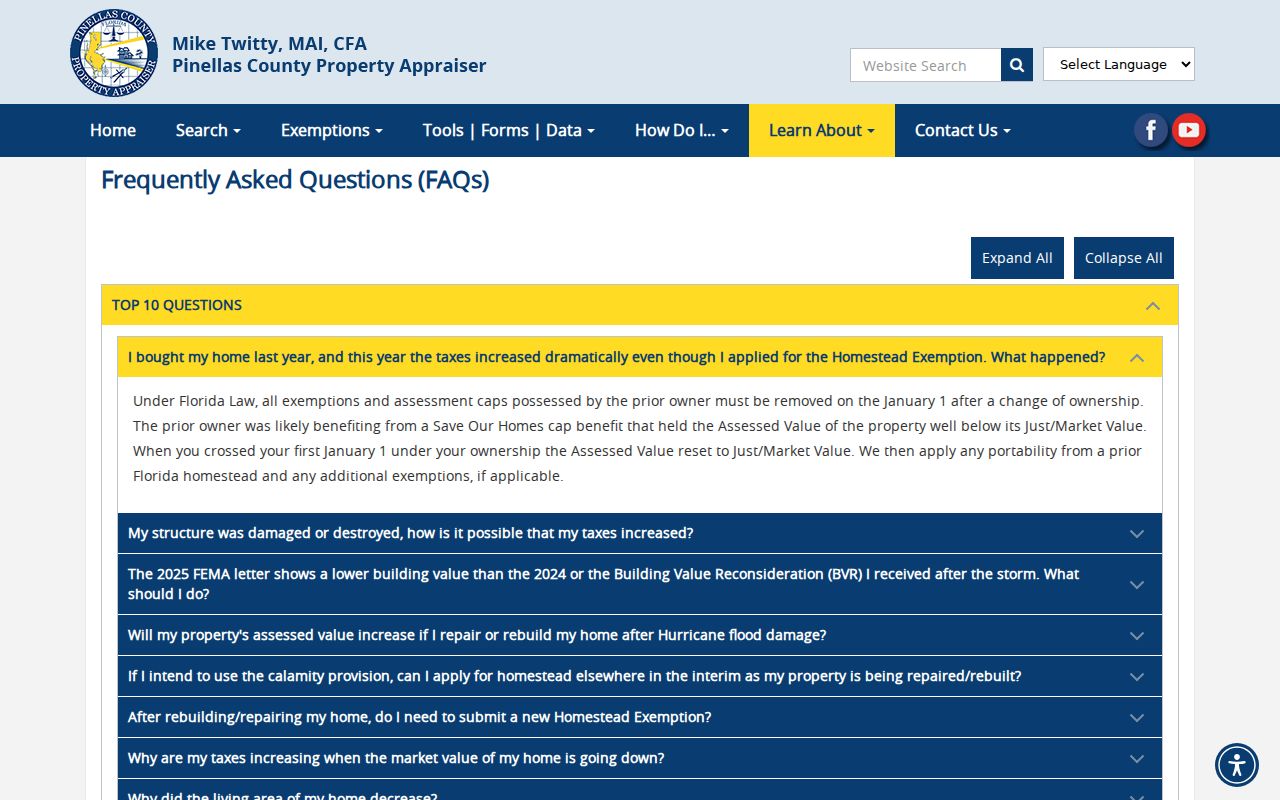
The captured guidance reinforces why a short, normalized address query often succeeds when a fully formatted mailing address does not.
Dunedin Site and Mail Addresses
PCPA stores the site address and owner-mail address in separate official datasets. That distinction is vital on a coastal city with seasonal ownership, condominium parcels, and owners who receive tax mail in another state. The site, also called the situs address, identifies the land. The mailing address tells where the tax-roll owner receives correspondence. Matching values support a lead, but a mismatch does not show that a Dunedin home is empty.
- Parcel
- A mapped unit of land with its own county identifier.
- Situs address
- The physical site address assigned to the parcel.
- Plat
- A recorded map that defines subdivision lots, blocks, streets, and dimensions.
- Criss-cross directory
- A historical directory arranged by street and house number rather than surname.
The PCPA open-data dictionary documents an 18-digit STRAP built from range, township, section, subdivision, block, and lot components. This stable land key helps when a street label changes or punctuation differs. The official parcel data download page also provides separate owner-mail and legal files.
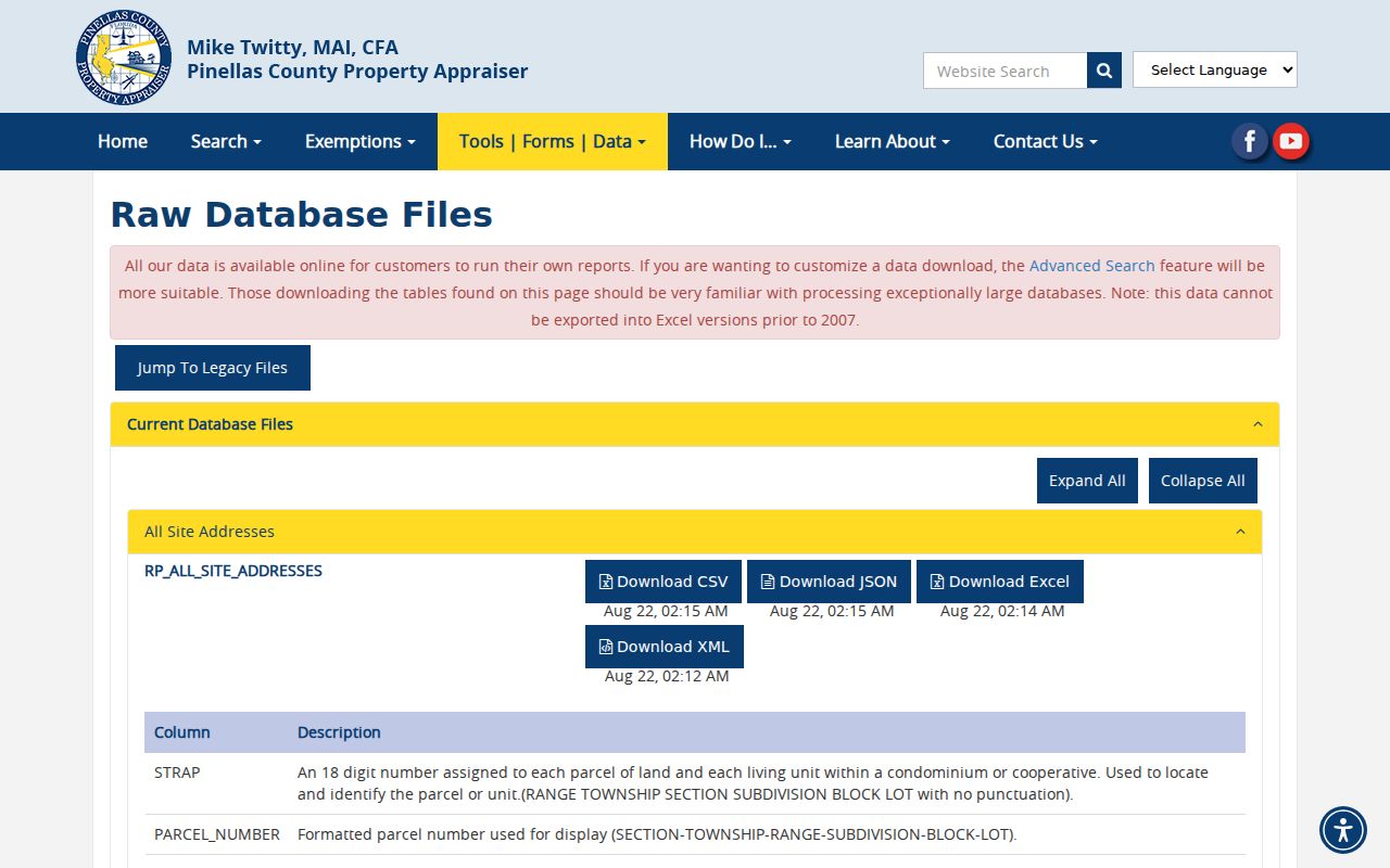
The data page shows why a careful Dunedin street directory keeps physical site, owner mailing, legal, and owner fields in separate columns.
Map Dunedin Streets Parcel by Parcel
The PCPA Parcel Viewer accepts owner, address, or parcel searches. Select a starting lot and zoom until parcel lines are clear. Clicking a parcel that lacks the red selection boundary changes the linked detail to that lot. The Selected control returns to the first parcel. This is the practical way to browse a Dunedin street by map.
Sales can highlight chosen sale years. Measure reports distance or area, and map styles include aerial, filled parcel, non-filled parcel, and Countywide Plan views. These tools clarify boundaries, common condominium land, water, and rights-of-way. They do not turn the map into a resident roster. A coastal parcel may look adjacent while water or common land separates it.
Link Dunedin Streets to Deeds
PCPA's last-deed and sales-history links supply the book/page or instrument needed for the Pinellas Acclaim official-records index. Acclaim supports party name, instrument number, document type, exact record date, consideration, book/page, case number, and legal description. The legal description matters because deeds do not use street addresses as reliable keys.
Online coverage begins January 1, 1957. Earlier ownership requires the grantor/grantee index, deed books, plats, or microfilm at the Clearwater Courthouse, 315 Court Street. Official Records is in Room 163 and Recording Services is in Room 150; the Clerk's customer line is 727-464-7000. Call before travel to confirm where an older book is available. FamilySearch, State Archives catalogs, old newspapers, and directories may identify a former owner, but the recorded deed remains the title source.
Dunedin Permits by Street Address
Permits can date an addition, demolition, or inspection and may name an owner, applicant, or contractor. In the Pinellas Access Portal, use Advanced Search, choose the proper module, and search by record number, license, address, or parcel. A record-number query needs the applicable date range. A partial record, license, or street value can use the percent sign wildcard. Parcel input uses digits without punctuation.
| Record number | Full value or partial value plus %, with a date range |
|---|---|
| Street address | Number and street name; omit city, state, and ZIP |
| Parcel | Digits only, without dashes or slashes |
| License | Type plus full or wildcard license number |
The Pinellas permit and record search provides the no-account general search.
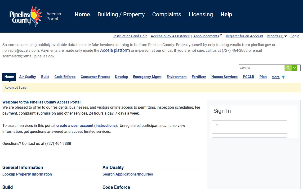
The form supports address evidence, but each name must retain its role. A contractor or permit applicant is not proof of residence.
Dunedin Records Indexed by Street
Each source answers a different question. The property roll ties a parcel to an owner. GIS places that parcel among nearby lots. Deeds show transfers. Permits show work and named project roles. Voter and historical sources can add occupant clues, but each has gaps and legal limits.
| Record Set | Keeper | What It Shows | Access |
|---|---|---|---|
| Property roll | Pinellas Property Appraiser | Owner, site and mail addresses, parcel, exemptions | Free portal and downloads |
| GIS parcel map | PCPA | Boundaries, adjacent parcels, owner-detail links | Free viewer |
| Deeds and liens | Pinellas Clerk | Parties, transfers, dates, legal description | Free index from 1957; counter earlier |
| Voter data | VotePinellas / Florida Elections | Public registration fields and voting history | Individual lookup or requested extract |
| Permits and code | Dunedin or Pinellas | Work, inspections, owner/applicant roles | Portal or focused records request |
| Reverse directories | Libraries and archives | Historical occupant or phone by house number | Shelf, licensed database, or staff request |
When a portal fails, use the alternate channel. PCPA has offices at the Clearwater courthouse and North, Mid, and South County locations; its main number is 727-464-3207. The Clerk accepts calls and written copy requests. Dunedin's City Clerk can route a focused request for city permit, code, or address-change records, while Pinellas County's Public Records Center handles county departments rather than the separate constitutional offices.
Voter Evidence Along Dunedin Streets
The VotePinellas individual tool requires identity inputs and confirms registration or polling information for a matched voter. It cannot browse all names on a street. A lawful street filter requires a county data order or the Florida Division of Elections monthly extract. Normalize the street number, direction, name, suffix, and unit, then check municipality or precinct rather than trusting ZIP alone.
Public fields can include name, residence and mailing address, party, registration date and status, district, precinct, and participation history. Voting history shows elections in which a person participated, never ballot choices. Florida law withholds Social Security and driver-license or state-ID numbers, registration-location data, preregistrant records, and copies of signatures. Protected address exemptions also create valid gaps.
Read Old Dunedin Streets Backward
A reverse or criss-cross directory begins with the street and sorts entries by house number. Exact Dunedin publisher and year holdings were not verified in the public catalogs, so ask Dunedin Public Library reference staff or the State Library for a shelf inventory before citing a volume. The Dunedin city directory collections explain how to read abbreviations and pair a street entry with census and newspaper evidence.
The Dunedin Times adds a strong local fallback. The Museum holds the only complete run from 1924 through 1966, while library interfaces cover searchable issues from 1924 through 1961 and browsable issues through 1965. Search an address or street fragment when newspaper OCR misses a surname. For research before Pinellas County's creation in 1912, include Hillsborough County predecessor land records.
Dunedin Street Names and Boundaries
A Dunedin postal label does not prove a parcel lies inside the incorporated city. PCPA's data dictionary notes that its city-and-ZIP field can use the nearest post office for unincorporated parcels. Confirm the parcel's municipality, tax district, and mapped boundary. ZIP 34698 is the main street-delivery ZIP, while 34697 is a postal or PO-box distinction rather than another neighborhood street grid.
Historic matching also needs care around U.S. 19, Broadway, Bayshore and Edgewater-area names, subdivision replats, and annexed land. For Martin Luther King addresses, PCPA specifically uses “Martin Luther King Jr Ave.” No verified source established one citywide renumbering year, so a gap should trigger a search by parcel, plat, legal description, and alternate street name rather than an invented date.
Limits of Dunedin Street Records
A public street directory cannot name every renter, child, guest, or other household member. Property data names owners. Voter records omit nonvoters, inactive or unmatched records, and protected people. Permit files name project roles. Driver, delivery, utility, and private membership data are not general public resident lists. A missing result may reflect spelling, timing, an exemption, or a portal cutoff.
Use two records with matching dates, geography, and roles before drawing a careful conclusion. Even then, say what the records prove. “Owned the parcel” is sound when the deed and roll agree. “Lived there” needs separate occupant evidence.
Lawful use. Dunedin address records are for lawful personal research. Never use them to stalk, harass, threaten, expose a protected address, or harm anyone.